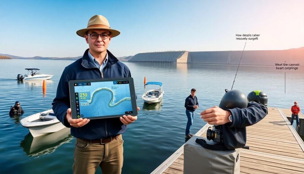
How deep is Table Rock Lake is a common question for visitors and boaters. The lake reaches its deepest point near the dam. Readers will get clear numbers, where those numbers come from, and safety tips for deep areas.
Key Takeaways
- Table Rock Lake reaches a maximum depth of about 230 feet near the dam at full pool, with average depths around 50 to 60 feet in many areas.
- Depth measurements vary due to seasonal water level changes, weather, and reservoir management by the Army Corps of Engineers.
- The deepest spots are near the dam and main river channels, crucial for anglers and divers targeting specific fish or underwater features.
- Boaters and swimmers should exercise caution in deep areas, using updated charts, depthfinders, and safety gear like life jackets to navigate hazards safely.
- Checking current lake stage information from official sources is essential before planning activities involving the lake’s deep water.
Quick Answer: Maximum, Average, And Typical Depths
The maximum depth of Table Rock Lake varies with water level, but the lake typically reaches about 230 feet at full pool. Local authorities report the maximum depth near the dam as roughly 230 feet when the lake sits at normal high pool. The average depth across the lake area sits near 50 to 60 feet in many basins. Seasonal drawdown and rainfall change these figures by several feet. Anglers often find shallow coves that measure under 10 feet. Divers and researchers find deep holes that measure well above the average. Visitors should treat the 230-foot figure as a maximum reference and check current lake levels for exact depth.
How Depth Is Measured And Why Figures Differ
Survey teams measure lake depth with sonar and with sounding lines. Engineers also use topographic maps and reservoir stage data to calculate depth. Agencies report depth as depth at specified lake stage elevations. Weather and water management change lake stage elevations frequently. Seasonal rain raises the lake and increases maximum depth. Dry spells drop the lake and lower maximum depth. Agencies sometimes round numbers for public reports. Local docks and marinas report depth that reflects their immediate location rather than the whole lake. Maps that date from different years can show different maximum depths because the charted stage changed. Readers should check the Army Corps of Engineers or Missouri Department of Natural Resources for current stage and depth data.
Reservoir Management, Water Levels, And Seasonal Variation
The Army Corps of Engineers manages Table Rock Lake water levels for flood control, power generation, and recreation. The Corps sets target stages that change by season and by weather forecasts. In spring, the Corps may lower levels to prepare for runoff. In summer, the Corps may maintain higher levels for recreation and power needs. In drought, the Corps will allow levels to fall to preserve water supply and power generation. These management actions change the maximum depth and the average depth across basins. For precise depth on a given day, the Corps posts lake stage and elevation on its website. Boaters and anglers should check those postings before they plan deep-water activities.
Where The Deepest Points Are Located On The Lake
The deepest points of Table Rock Lake lie near the Table Rock Dam and in main river channels. The dam pool creates the deepest basin where the Missouri and White Rivers converge into the reservoir. Sonar charts show deepest water close to the dam wall and along the original river channels that the lake flooded. Secondary deep spots appear near old creek channels and steep underwater drop-offs. Marinas and public maps mark some deep-water areas, but the best method to locate deep holes is to consult recent bathymetric maps or use real-time depthfinders. Anglers often target these deep channels for seasonal fish, while divers concentrate near the dam and major drop-offs with proper permission and safety gear.
Safety, Boating, And Navigation Considerations For Deep Areas
Boaters must respect deep-water hazards and sudden drop-offs. Deep water hides submerged timber, rock ledges, and changing currents. Captains should use updated charts and depthfinders to avoid grounding or prop damage. Swimmers and divers should avoid currents near the dam and inlet/outlet structures. The Corps posts no-entry zones and warns about strong flows at outlets. Life jackets save lives and the law requires them for many boaters: users should wear life jackets in all small craft. Night navigation requires proper lighting and reliable electronics because deep areas can shift with sediment movement and changes in lake stage. If a boat capsizes, staying with the craft increases rescue chances. Visitors should tell a friend or marina about their plans before heading to deep spots.