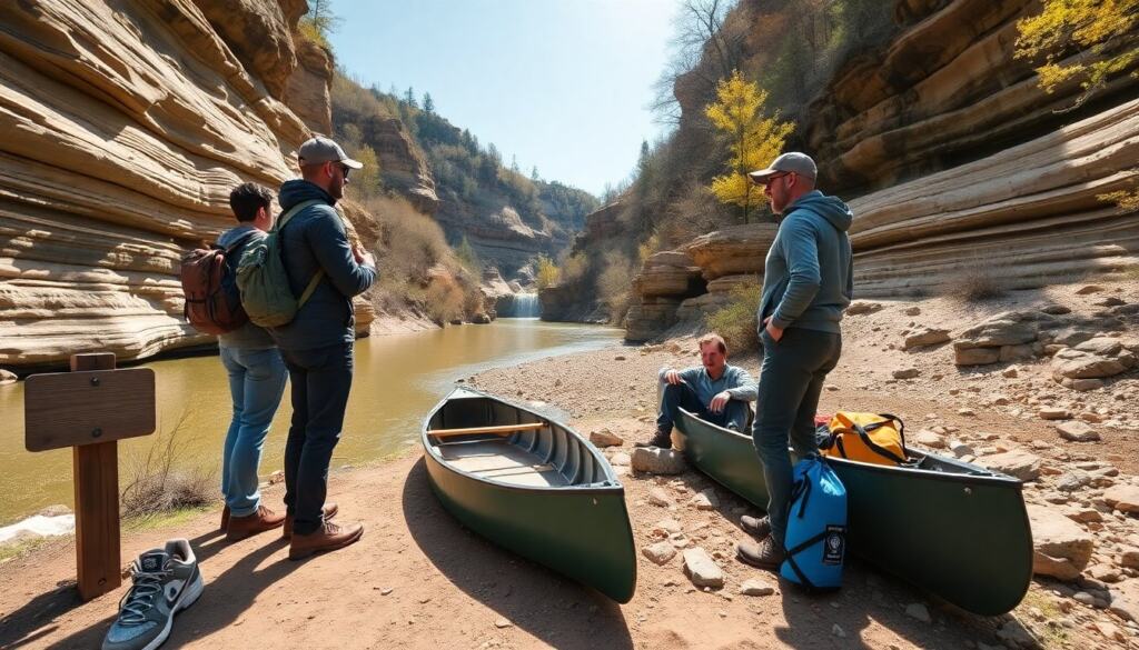
The Buffalo River Trail is a top Arkansas route for hiking, camping, and paddling. This guide gives clear facts, best segments, and planning tips. It lists permits, gear, and seasonal notes. It helps readers choose day hikes or multi-day routes. It sets realistic expectations for terrain, water access, and remoteness.
Key Takeaways
- The Buffalo River Trail offers 37 miles of diverse hiking terrain along Arkansas’s Buffalo National River, ideal for day hikes and multi-day backpacking trips.
- Popular segments like Boxley Valley, Steel Creek to Lost Valley, and Hemmed-in-Hollow provide scenic overlooks, waterfalls, and accessible routes for various skill levels.
- Proper planning includes checking seasonal river levels, securing permits for backcountry camping, and preparing for limited resupply and weak cell signals.
- Essential gear for the Buffalo River Trail includes sturdy boots, water treatment supplies, sun protection, and navigation tools like maps and compasses.
- Safety measures involve following Leave No Trace principles, storing food securely to avoid wildlife encounters, and staying on marked trails to protect the environment.
- Local outfitters and park rangers provide valuable resources such as shuttle services, current trail conditions, and up-to-date maps to enhance your Buffalo River Trail experience.
Quick Overview And Key Facts About The Buffalo River Trail
The Buffalo River Trail runs along the Buffalo National River corridor in northern Arkansas. It offers varied terrain, river views, bluffs, and forests. The trail totals roughly 37 miles on official continuous sections and more when including side trails and connector routes. Hikers find well-marked trailheads at Boxley Valley, Steel Creek, and Hemmed-in-Hollow. The trail passes through federal and state lands. It stays open year-round, but weather affects access and river levels.
Trail surface varies from packed dirt to rocky switchbacks. Elevation changes are moderate to steep in places. The Buffalo River Trail attracts day hikers, backpackers, and paddlers who link water routes with footpaths. Campsites occur at designated backcountry sites and at primitive river camps. Backcountry permits may apply for organized groups in some areas. The National Park Service maintains maps and updates for closures and conditions. Local ranger stations provide current river levels and trail notices.
Travel times vary. Hikers average 2 to 4 miles per hour on flat sections and 1 to 2 miles per hour on steep or technical parts. The Buffalo River Trail requires basic navigation skills and fitness for longer treks. Cell signal is often weak. Hikers must plan for limited resupply options and carry water treatment gear when they cannot reach river access.
Best Trail Segments, Day Hikes, And Scenic Highlights
Boxley Valley offers short loops and river views near historic farms. This area works well for families and photographers. The Steel Creek to Lost Valley segment provides waterfalls, bluff overlooks, and a mix of forest and open rock. Hikers reach the waterfalls with a moderate 2 to 4 mile round trip. Hemmed-in-Hollow features the tallest waterfall on the Buffalo River. The trail to that point climbs through woods and ends at a dramatic drop into the hollow.
The Ponca area provides more remote hiking and access to float launches. The Ponca to Kyles Landing stretch gives long views of the river and distant bluffs. This segment suits experienced backpackers who plan river shuttles. The Buffalo River Trail also links to short connector paths that lead to canoe launches and primitive camps.
For day hikes, choose routes under 6 miles with limited elevation gain. Good picks include Boxley to a loop trail, Steel Creek Falls, and Lost Valley. For scenic paddling paired with hiking, plan a float from Ponca to Erbie and stop at ridge access points on the Buffalo River Trail. Paddlers can combine a one-day float with a short hike to overlooks or a half-day backcountry camp. Each segment delivers river views, sandstone bluffs, and oak-hickory forest that change color in fall.
Top Practical Tips For Planning Your Trip (When, Where, Permits, Gear)
Choose timing based on weather and crowds. Spring and fall provide mild temperatures and full river flow. Summer brings higher temperatures and more insects. Winter offers quiet trails but colder nights. Check river levels before planning a paddle. High water can close some low launches and make paddling unsafe.
Select a base or shuttle point before you go. Ponca, Boxley, and Jasper provide access and basic services. Reserve lodging or campsites early for weekends and holidays. Obtain maps and recent trail notices from the National Park Service. Pack a small waterproof map and compass as backups. Guidebooks from regional outfitters offer route detail and shuttle contacts.
Permits and rules vary by activity and campsite. The National Park Service regulates backcountry camping at some sites. Hikers should read the current rules on camp locations, group size, and fire restrictions. Organized groups must often register in advance. Leave permits and fees in place when required.
Gear priorities include sturdy boots, sun protection, and water treatment. Hikers should carry at least two liters of water per person for a full day in warm months. Paddlers should wear life jackets and secure dry bags for gear. A small first-aid kit and a headlamp belong in every pack. Layers help manage temperature changes between river valleys and ridge tops.
Plan logistics for resupply and transport. Many trail sections lack nearby stores. Arrange shuttle services or a second vehicle for point-to-point routes. Local outfitters provide canoe and kayak rentals and shuttle options. Respect private property near trailheads and access roads.
Safety, Leave No Trace, And Wildlife To Watch For
Carry a map and tell someone the plan before you leave. Check weather forecasts the morning of departure. Avoid river travel during thunderstorms. Stay on marked trails to protect plants and prevent erosion.
Follow Leave No Trace rules. Pack out all trash. Use existing campsites. Keep campfires small and follow current fire restrictions. Dispose of human waste at least 200 feet from water and trails.
Expect to see white-tailed deer, wild turkey, and small mammals. Hikers may encounter black bear in remote parts. Store food securely and maintain distance from wildlife. Watch for venomous snakes on warm rocks and trail edges. Insect repellent helps reduce ticks and biting flies. The Buffalo River Trail supports diverse plants and animals. Respect wildlife and avoid feeding animals.